Tour description
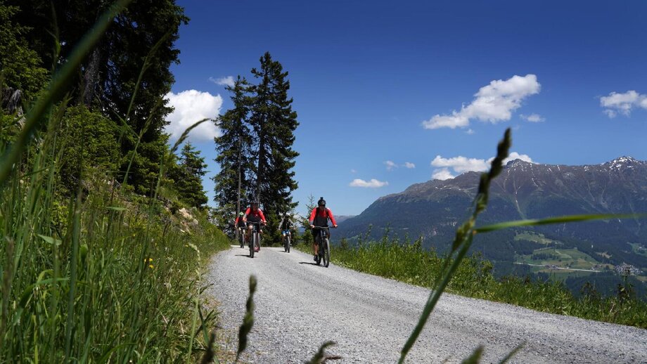
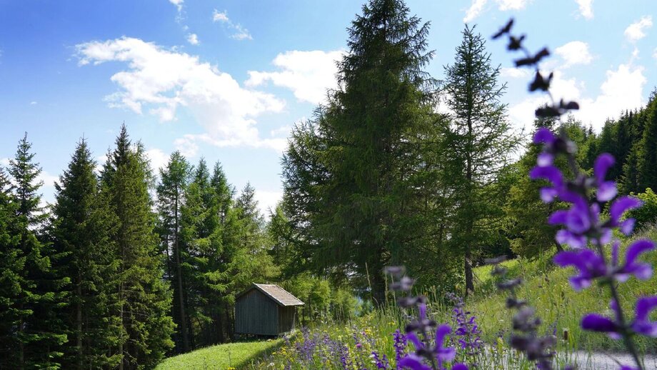
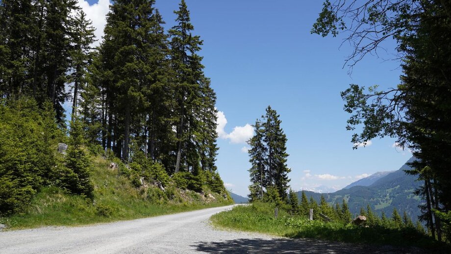
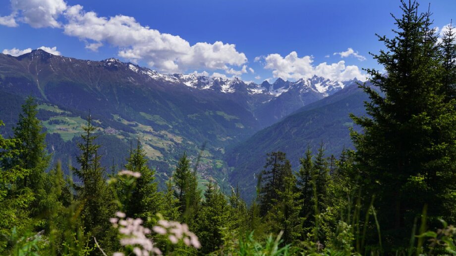
This seven-day mountain bike adventure brings the world's highest mountain to the heart of the Alps – or at least the 8,848 vertical metres of climbing from sea level to the peak of Mount Everest. The route measures 285 kilometres in length and takes riders from Garmisch-Partenkirchen in Germany to Plamort on the Austrian-Italian border. Bikers relying 100% on pedal power will have to be pretty fit to complete the Bike Everest Tirol, while those taking on the challenge with an e-bike can afford to take things a little easier. The route leads through several nature parks and offers fine views of some of the most famous mountains in the Alps, including the Zugspitze and the Ortler. Lakes, waterfalls, canyons, lush meadows, huts, castles and medieval fortresses provide lots to see and explore along the way. The Bike Everest Tirol is best completed between May and October. It can be ridden all in one or split up into several shorter stages. A special package is on offer for riders wishing to ride the route from start to finish in one holiday.
Stage 1: Garmisch-Partenkirchen – Mittenwald – Garmisch-Partenkirchen
Distance: 51.6 kilometres, ascent/descent 1,121/1,126 vertical metres, difficulty: intermediate
Stage 2: Garmisch-Partenkirchen – Eibsee – Ehrwald
Distance: 28.7 kilometres, ascent/descent: 897/610 vertical metres, difficulty: intermediate
Stage 3: Ehrwald – Gipfelhaus Grubigstein – Fernpass – Nassereith – Imst
Distance: 62.5 kilometres, ascent/descent: 1,639/1,810 vertical metres, difficulty: intermediate
Stage 4: Imst – Mils – Kronburg – Landeck
Distance: 40.9 kilometres, ascent/descent: 1,306/1,331 vertical metres, difficulty: intermediate
Stage 5: Landeck – Fließ – Fiss – Serfaus
Distance: 37.9 kilometres, ascent/descent: 1,496/883 vertical metres, difficulty: intermediate
Stage 6: Serfaus – Pfundser Tschey – Pfunds
Distance: 25.3 kilometres, ascent/descent: 822/1,267 vertical metres, difficulty: intermediate
Stage 7: Pfunds – Martina – Nauders – Plamort
Distance: 39.4 kilometres, ascent/descent: 1,567/511 vertical metres, difficulty: difficult
Start: Garmisch-Partenkirchen
End: Plamort, Nauders


